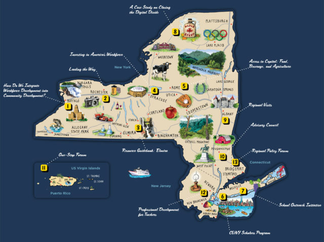
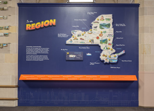
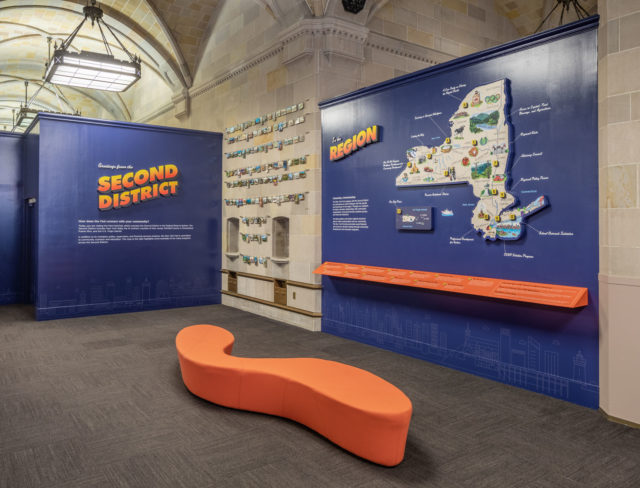
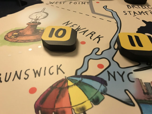
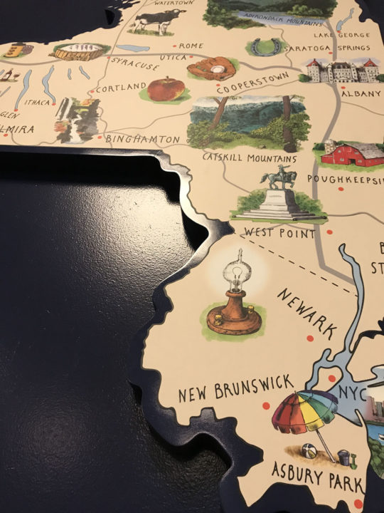
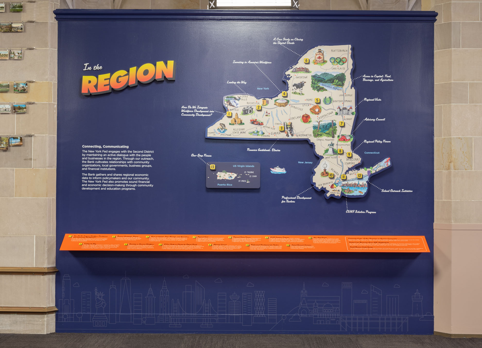
Daniel Baxter collaborated with designer Megan Mardiney in creating an ambitious 8 ft by 10 ft map installation for the museum at the Federal Reserve Bank of New York, on Liberty St. in Manhattan. This map represents the region they encompass: New York State, Puerto Rico, the Virgin Islands, as well as parts of Connecticut and New Jersey. This museum educates people about the role of the Federal Reserve, as well as how our economy works. The vignettes on this map represent various industries, landmarks, and animals of the region.
See more of Daniel’s work here.
